"GREETINGS FROM …" are short field notes. Friends of OLLI send us their impressions from their travels.
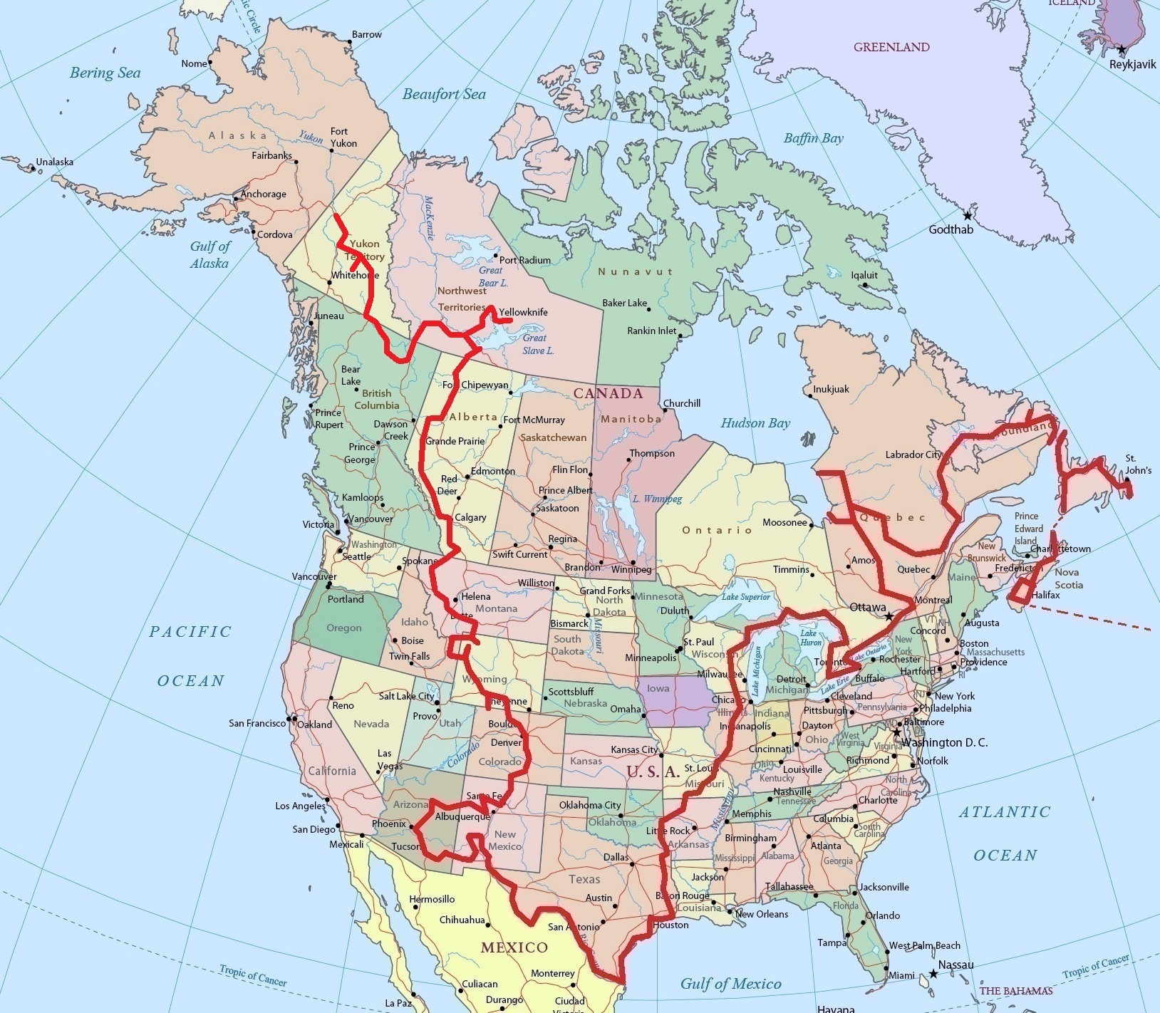
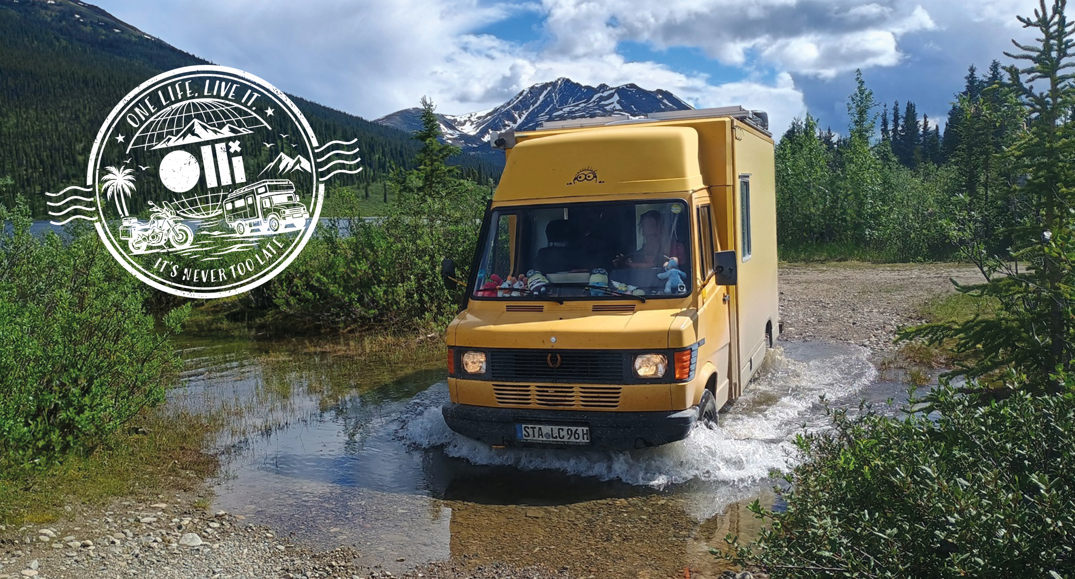
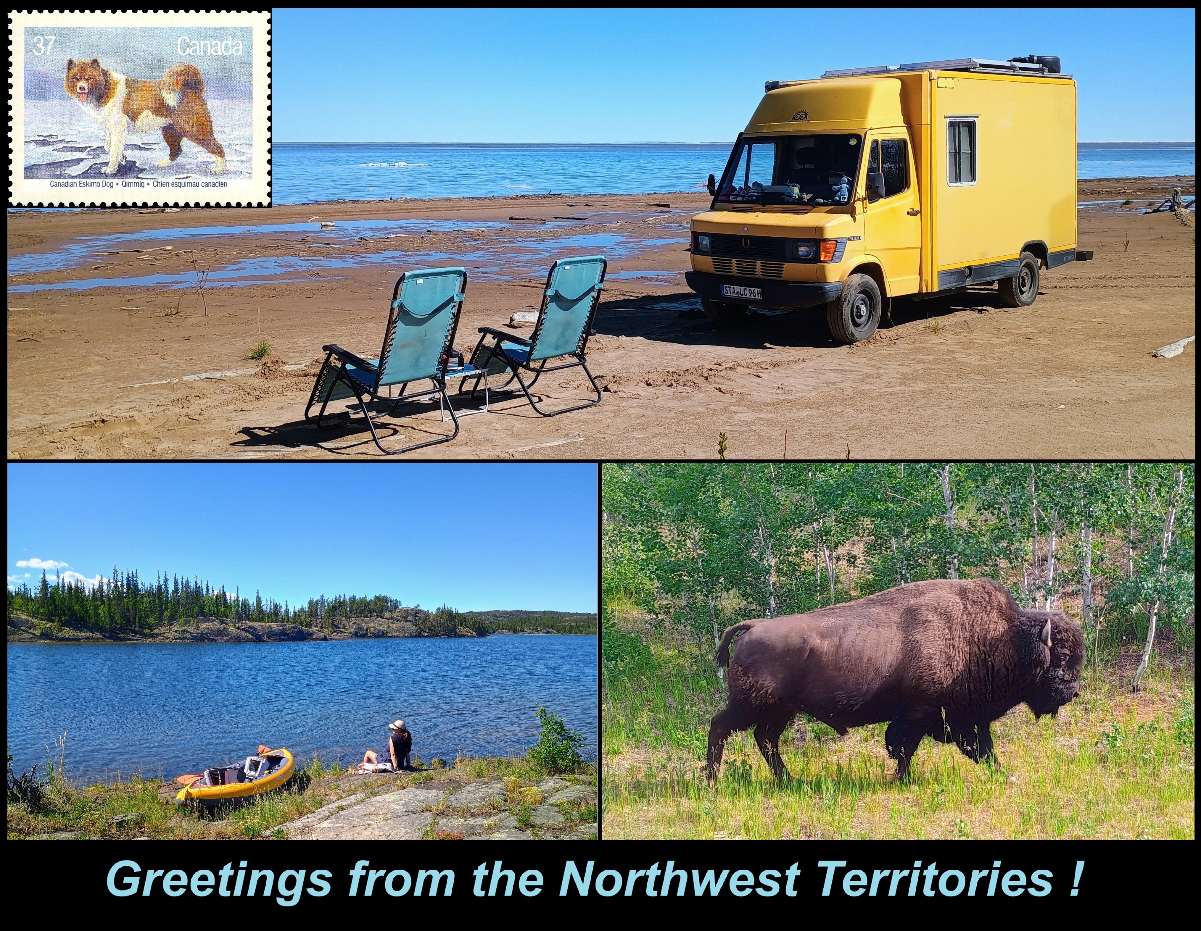
Yellowknife, Northwest Territories, Canada. There’s “remote,” and then there’s the Canadian North. If you want to escape civilization and immerse yourself in the wilderness, this is the place for you. With experience and the right gear, you can hike or kayak for months on end … encountering nothing but bison, bears, and caribou along the way. Fifteen months ago, Christopher Many and his partner Laura Pattara shipped their old Mercedes 308D T1—a former mail van—to North America. Since then, they’ve traveled over 35,000 kilometers—from Halifax to Texas and then back north to Yellowknife.
A Capital City at a Dead End
Hello, everyone!
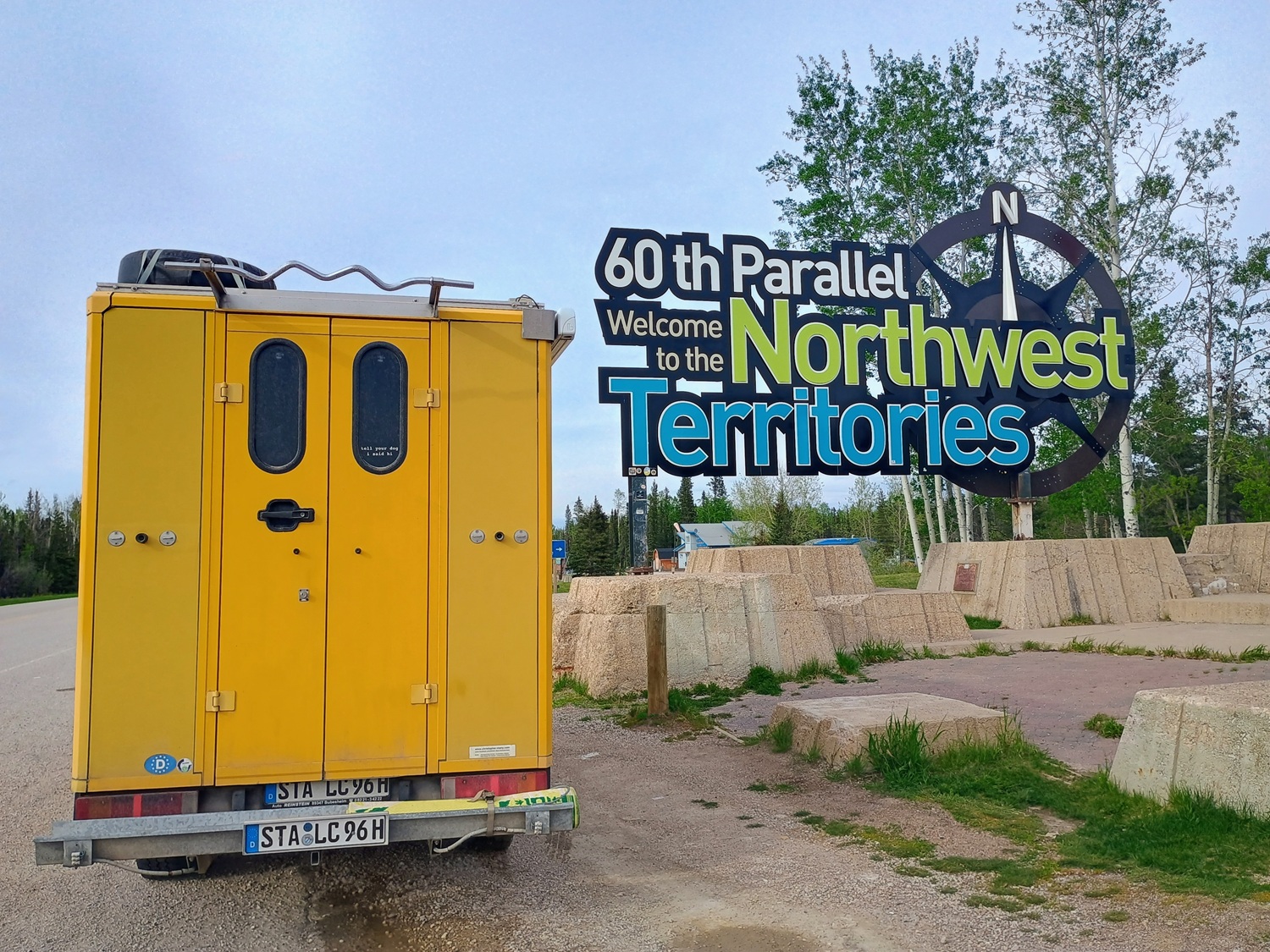
You really know you’re out in the wilderness when every oncoming truck driver waves at you. Traffic thinned out significantly as we crossed the 60th parallel, entered the Northwest Territories, and approached Yellowknife… a capital city like no other. It’s located at the end of a dead-end road, 1,450 kilometers north of Edmonton (the nearest major city).
To put this in terms Europeans can understand: Imagine you live in a quiet town in central Germany. Now imagine you want to go to the theater, shop at the supermarket, see a specialist, or just experience something different… and to do so, you have to travel all the way to Barcelona, Stockholm, or Naples! That might give you a rough idea of the size of this Canadian region. The Northwest Territories are actually 3.3 times the size of Germany, but have only 44,000 residents.
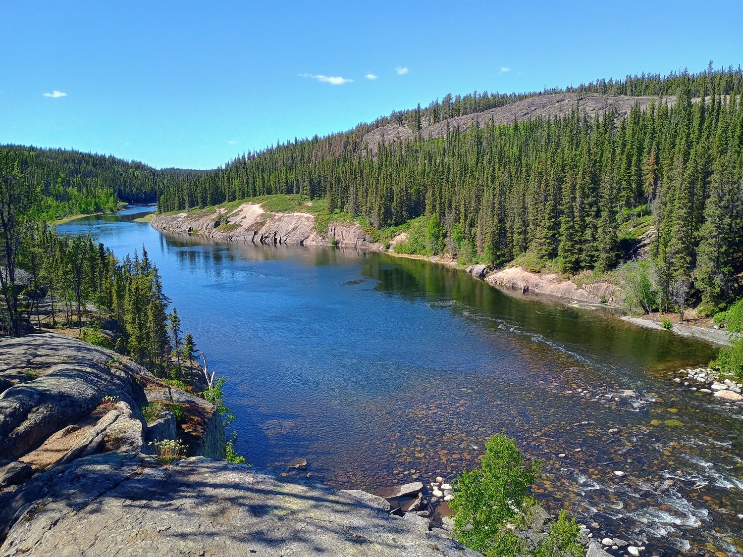
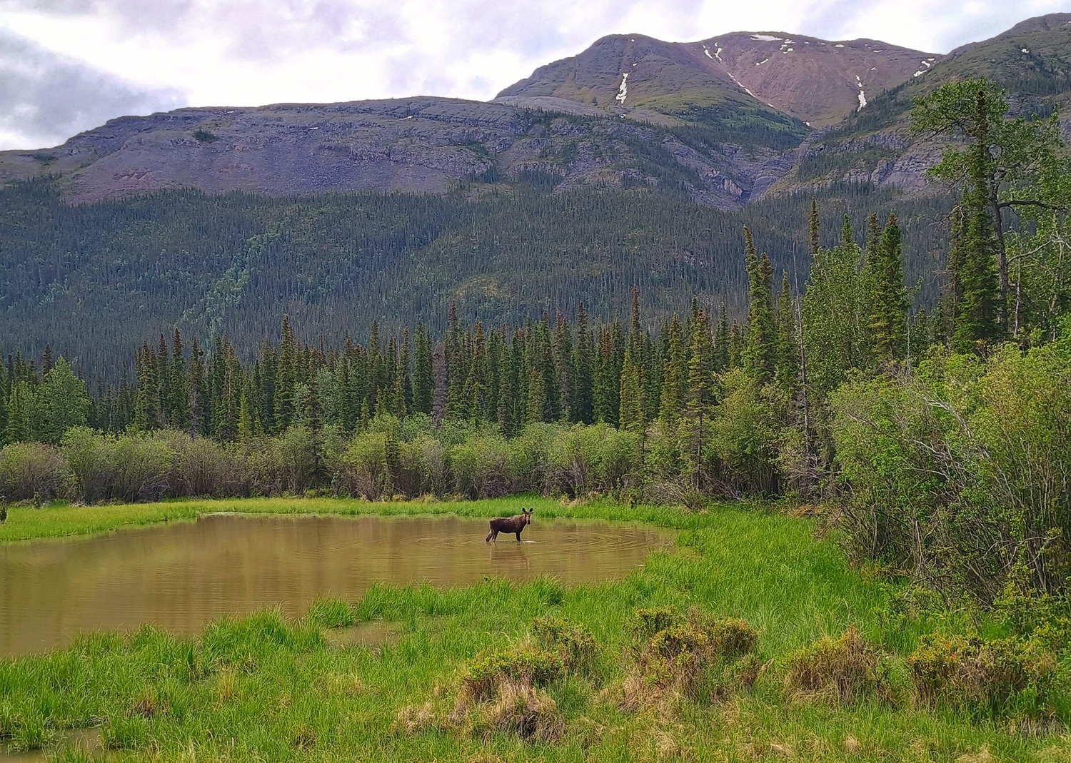
You have to be a very special person to live in a place where the wilderness reigns supreme. Dense boreal forests seem to stretch on and on into infinity and beyond. These forests are home to bears, foxes, lynx, caribou, moose, and trillions of mosquitoes. The radiator grille of our vehicle resembles a giant graveyard—littered with the remains of the many little creatures we’ve run over along the way (don’t worry: just insects, no moose!).
Roads That Aren’t Really Roads
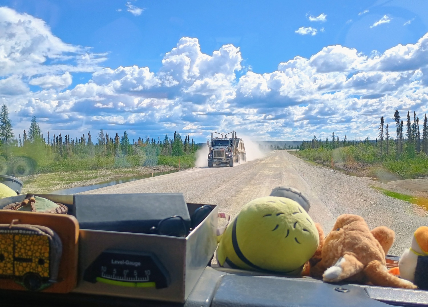
Only a handful of roads crisscross this vast wilderness, connecting mining settlements and indigenous villages to the outside world. They bear names like “Mackenzie Highway,” “Hay River Highway,” or “Liard Highway,” but they have nothing in common with multi-lane highways. And driving fast is out of the question here. Often, they’re little more than bumpy gravel or dirt roads that turn into muddy trails after heavy rains. The distances between gas stations can exceed 300 kilometers, and on some of these so-called “highways,” we averaged only 30 km/h. If a truck comes toward you, you’d better slow down and watch your windshield! We’ve already racked up half a dozen cracks from flying gravel.
When Lakes Become Roads
The road to the capital, Yellowknife, was paved in 2006, so the drive is now trouble-free—at least in the summer. Laura and I are enjoying 20°C and 20 hours of sunshine a day. Our sleep schedule is completely out of whack. In winter, however, things look very different. We’re at the same latitude as Trondheim, Norway, but the climate is hardly comparable. Northern Europe is warmed significantly by the Gulf Stream, while this region lies in an extreme subarctic climate zone. In January and February, temperatures often drop to minus 40°C. When that happens, and lakes or rivers freeze over, cars and trucks can drive across them on so-called “ice roads” to reach even the most remote settlements. The lake near Yellowknife is called “Great Slave Lake,” but it’s so vast that it feels more like an ocean.
💡 Did you know that Great Slave Lake has nothing to do with “slavery”? It’s named after the Slavey (or Awokanak), an Indigenous group of the Dene First Nations that lives in this region. The lake covers an area of over 27,000 km², making it about the size of Belgium or Albania!
24% of Yellowknife’s population is of Indigenous descent, and 17% is of Asian descent (primarily Filipino, Vietnamese, Chinese, and Korean). The main shopping streets are bustling and modern, but in the historic old town, houseboats are anchored in the bay, and seaplanes buzz through the sky. Adventure tour operators regularly drop off kayakers and hikers in the wilderness… often using canoes strapped to the outer struts of the planes.
Setting Out on the Ingraham Trail
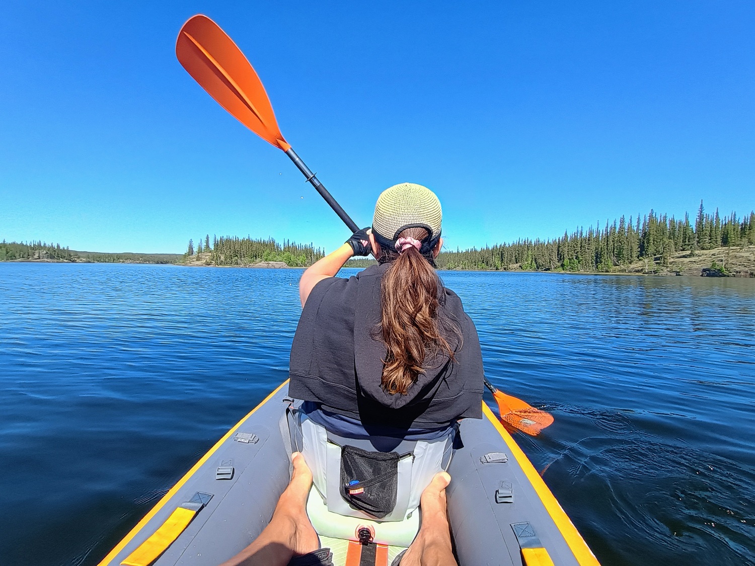
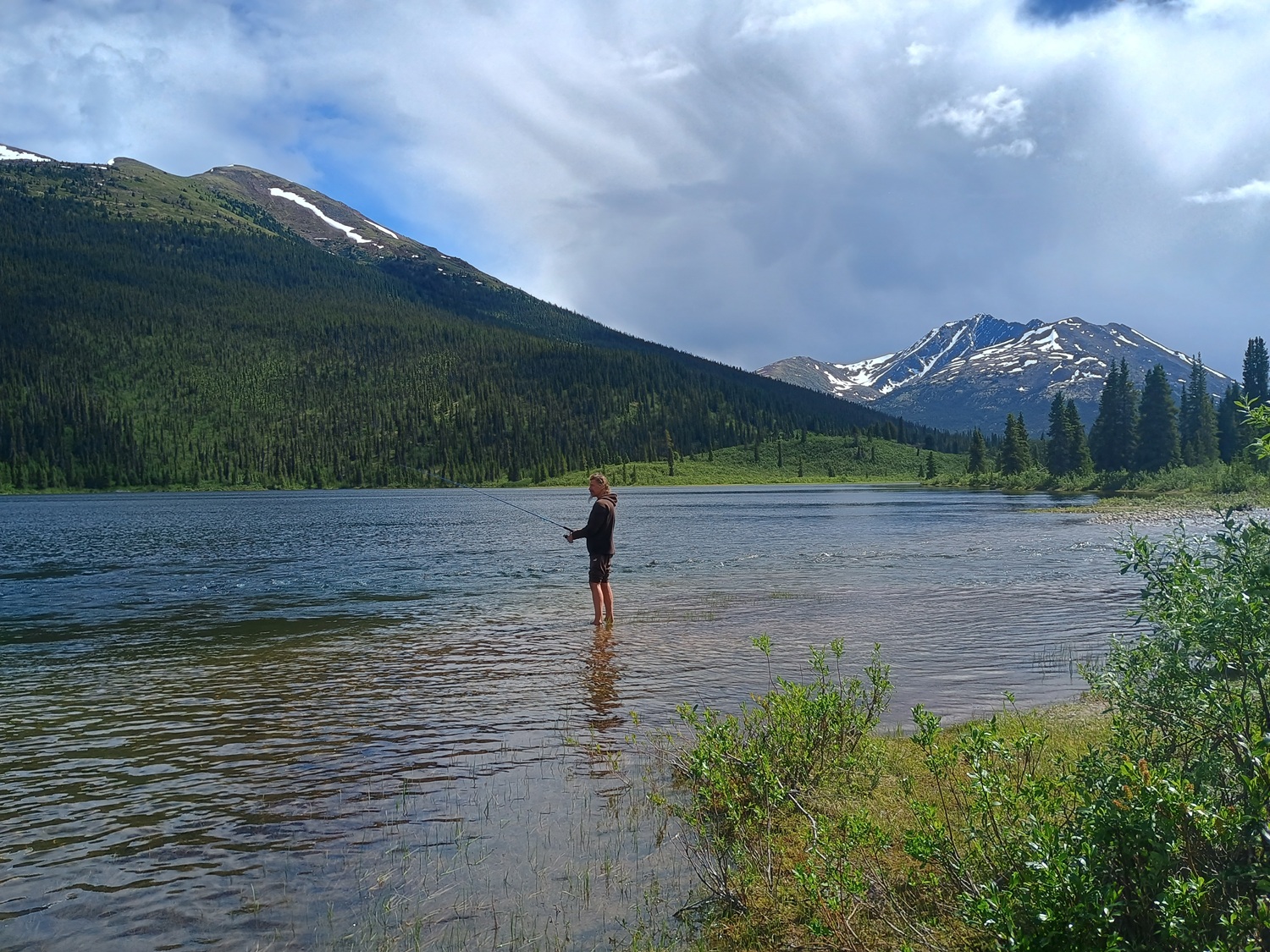
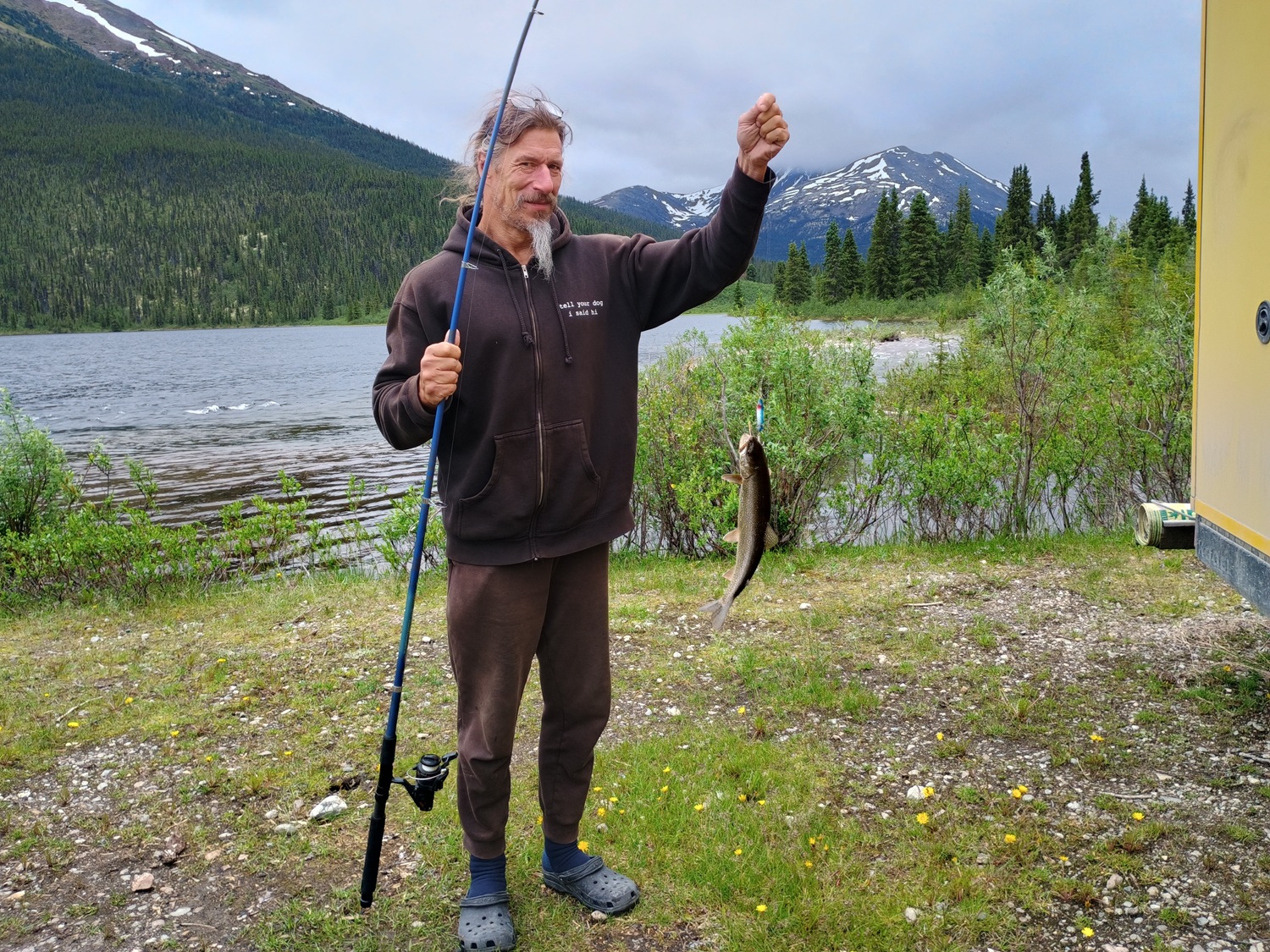
We set out on our own adventure and head to the Ingraham Trail for a week of kayaking, backcountry camping, and swimming under waterfalls. We even manage to catch a few delicious rainbow trout, which we grill over the campfire in the evening. But soon it’s time to move on; we still have a long way to go. Next up is the Dempster Highway to the Arctic Ocean!
Best regards from Canada, and happy travels always,
Christopher
More about Christopher Many